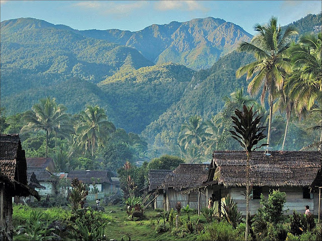
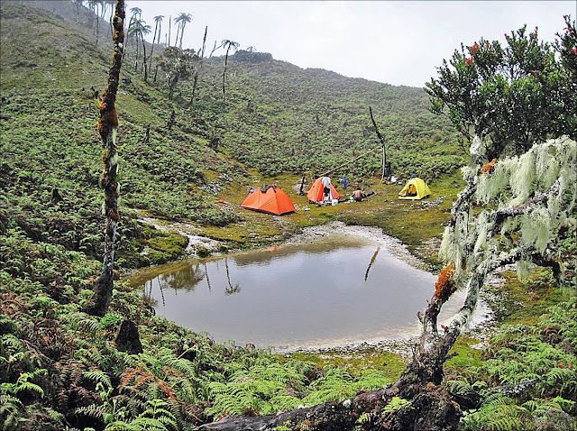
In 1972, Manusela National Park was divided into two areas: Wae Mual (17.500 ha) and Wae Nua (20.000 ha). Wae Mual comprises lowland forestry area in the north. Mangrove, resin (Agathis Alba), and meranti tree (Shorea sp) dominate the Wae Mual area. Wae Nua is situated in the center of hilly area. The width of Wae Nua area is 20.000 ha.
Mount Binaiya is 3.055 meters above the sea level. Having an escapade tour, the mount offers you unforgettable experience ever. In the slope of the mount, you will see meandered rivers which have average width between 6 and 8 meters.
Mount Binaiya Location
Mount Binaiya lies in Central Maluku District, Maluku Province. You may take public transport from Ambon City – the capital of Maluku Province – to Tulehu harbor costing IDR 10.000. From Tulehu, you must continue the trip to Seram Island by speedboat. The cost for taking speedboat crossing Malacca strait is IDR 60.000. From Wahai harbor (Seram Island), you may further the trip to Kanikeh Village for approximately six hours. There is no accommodation and supporting facilities around Mount Binaiya since its location in the hinterland of Maluku Province. However, you may spend more days there in the local inhabitants’ houses.


0 comments:
Post a Comment